Skip to the crossing history
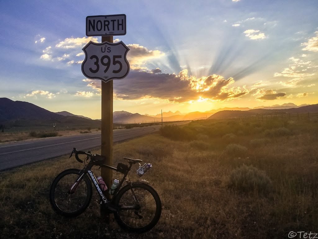
A bicycle beneath a northbound US 395 sign in low light beside the Sierra Nevada

Cycling archive / California / 2014–2019

SIERRA
CROSSINGS.

Four rides, four different definitions—and a wider family of long crossings on foot and skis. The route comes before the clock.

Highway 395 and the eastern Sierra · photograph supplied by Ryan Tetz

00 / Read the route first

MANY WAYS ACROSS.

“Sierra crossing” describes a family of ideas. The number of crossings, the roads or trails used, the season, endpoints and outside support all change the problem. The recovered bicycle chronology comes first; the long trail and ski lines follow.

Link-Up
Two passes and two full range crossings; an intended loop that ended in Bridgeport.
Direct
Trans-California line from the Pacific to the eastern state border, with a dedicated support vehicle.
Triple
The first full triple Sierra crossing claimed in any sport: three range crossings in one ride.
01

May 15, 2014 / The first recovered double

THE LINK-UP:
TIOGA + SONORA.
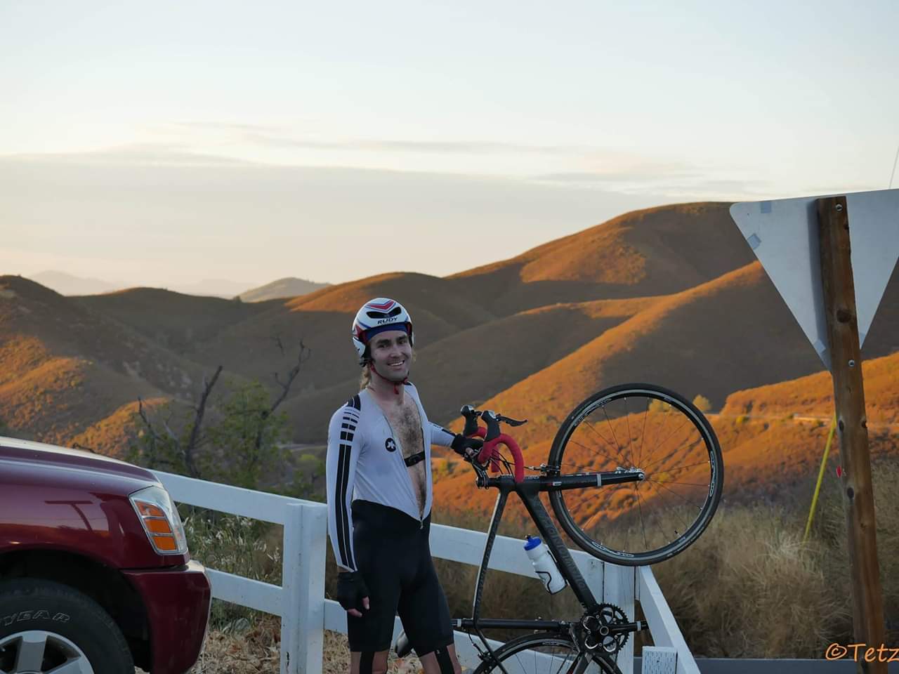
Ryan Tetz lifts the front wheel of his road bicycle at the top of Priest Grade during the 2014 Link-Up
Ryan Tetz at the top of Priest Grade during the 2014 Sierra Link-Up · Ryan Tetz archive
211miles reported
21,794feet climbed
20 helapsed

Ryan Tetz left the Lee Vining Mobil, crossed west over Tioga Pass through Yosemite, descended Old Priest Grade and reached Chinese Camp. He turned north through Jamestown and Sonora, then crossed the range again over Sonora Pass to Highway 395 and Bridgeport.

The completed ride was not the closed “Mission Mobil to Mobil” loop he had imagined. A dying headlamp ended the effort roughly 25 miles short of Lee Vining. Tetz began self-supported, carrying food and clothing in a frame bag; Shellybell Morriss later supplied Gatorade and vehicle headlights over Sonora Pass, making the final style supported late in the ride. The surviving Strava recording is only a fragment, so the first-person report remains the source for the full distance and gain.
02

October 22–23, 2014 / Ocean to the eastern state line

TRANS-
CALIFORNIA
CROSSING
DIRECT.

320.1miles reported
27:20:22finish clock
1support crew

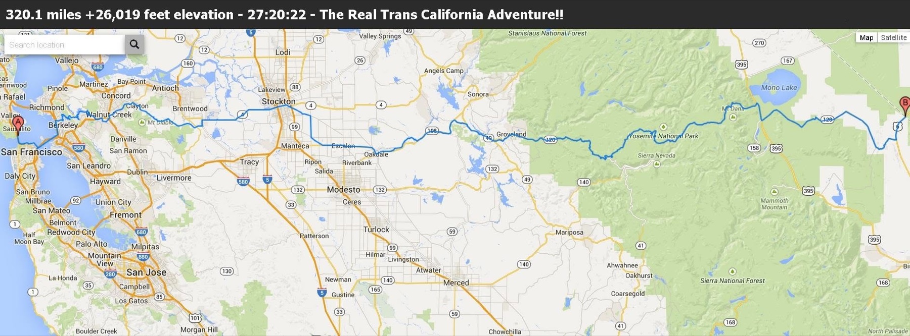
Five months after the Link-Up, Tetz took the idea across the state. The west-to-east line ran through Stockton, Oakdale, Old Priest Grade, Yosemite and Tioga Pass. James Nichols stayed with the ride from beginning to end as the sole support crew.

The primary Strava file ends after 287.08 miles, 24,855 feet of gain and 25:18:02 elapsed; a separate 26-mile, 2:02 activity preserves part of the missing finish. The two files do not fully reconstruct the finish note, so 320.1 miles and 27:20:22 remain clearly labeled as Tetz’s contemporaneous reported totals rather than a completely GPS-verified clock. The precise Pacific and eastern-border touchpoints still need to be recovered.

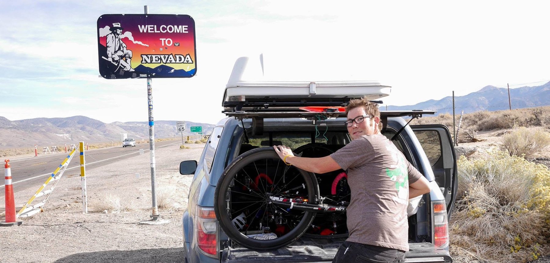
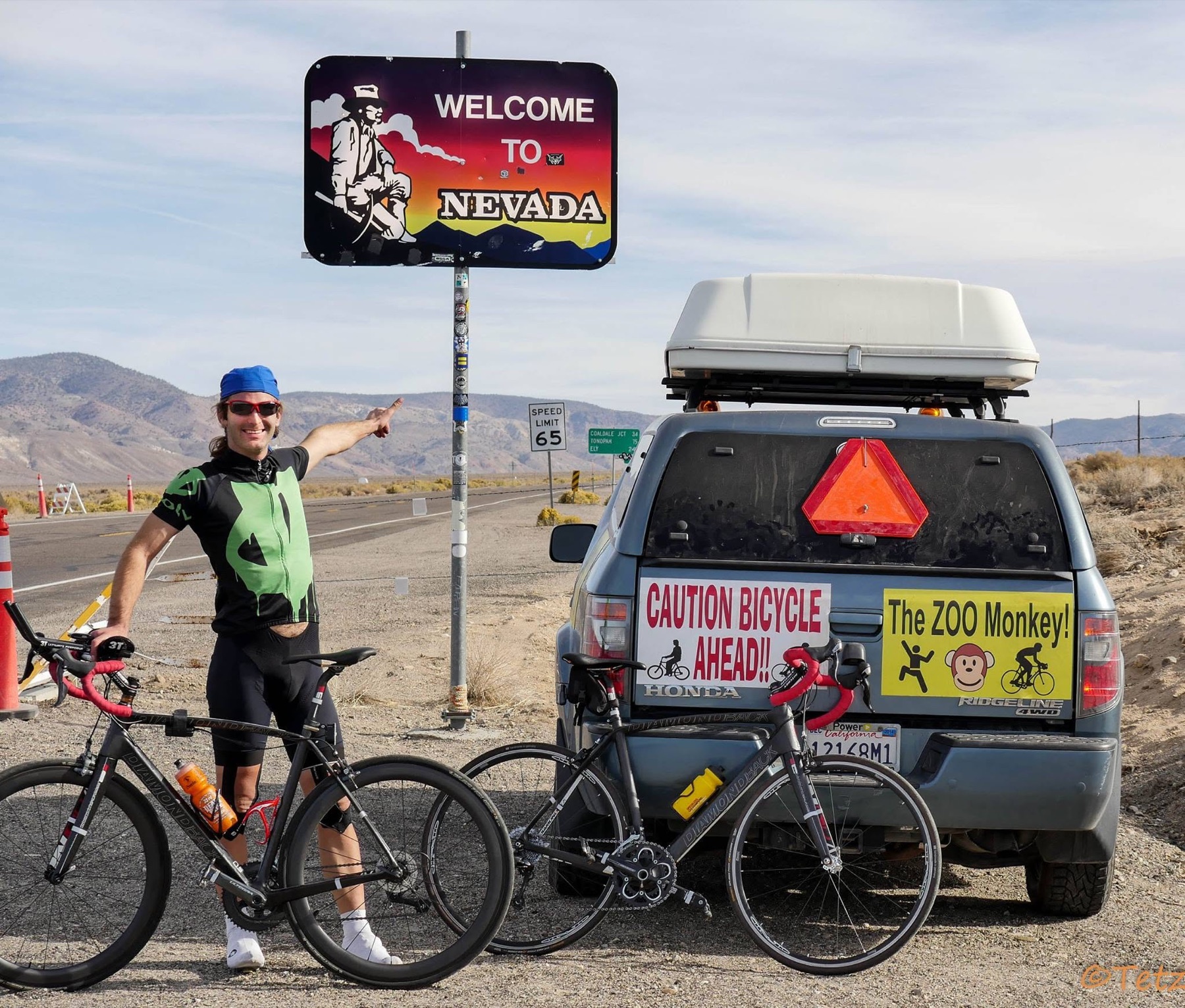
A cyclist stands with a road bicycle beneath the Welcome to Nevada sign at the eastern end of the 2014 Trans-California Crossing Direct
The eastern state line · Trans-California Crossing Direct · Tetz archive
Contemporaneous route map tracing Trans-California Crossing Direct from the Bay Area through Yosemite and Tioga Pass to the Nevada line
Contemporaneous route map · 320.1 miles · 26,019 feet · 27:20:22 reported
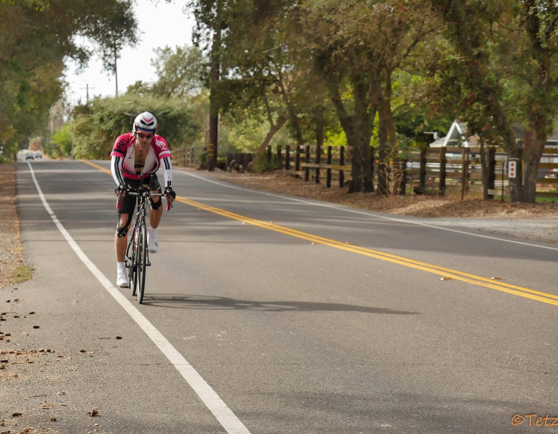
Ryan Tetz rides a road bicycle through the California foothills during Trans-California Crossing Direct
Across the foothills · Tetz archive · original watermark retained
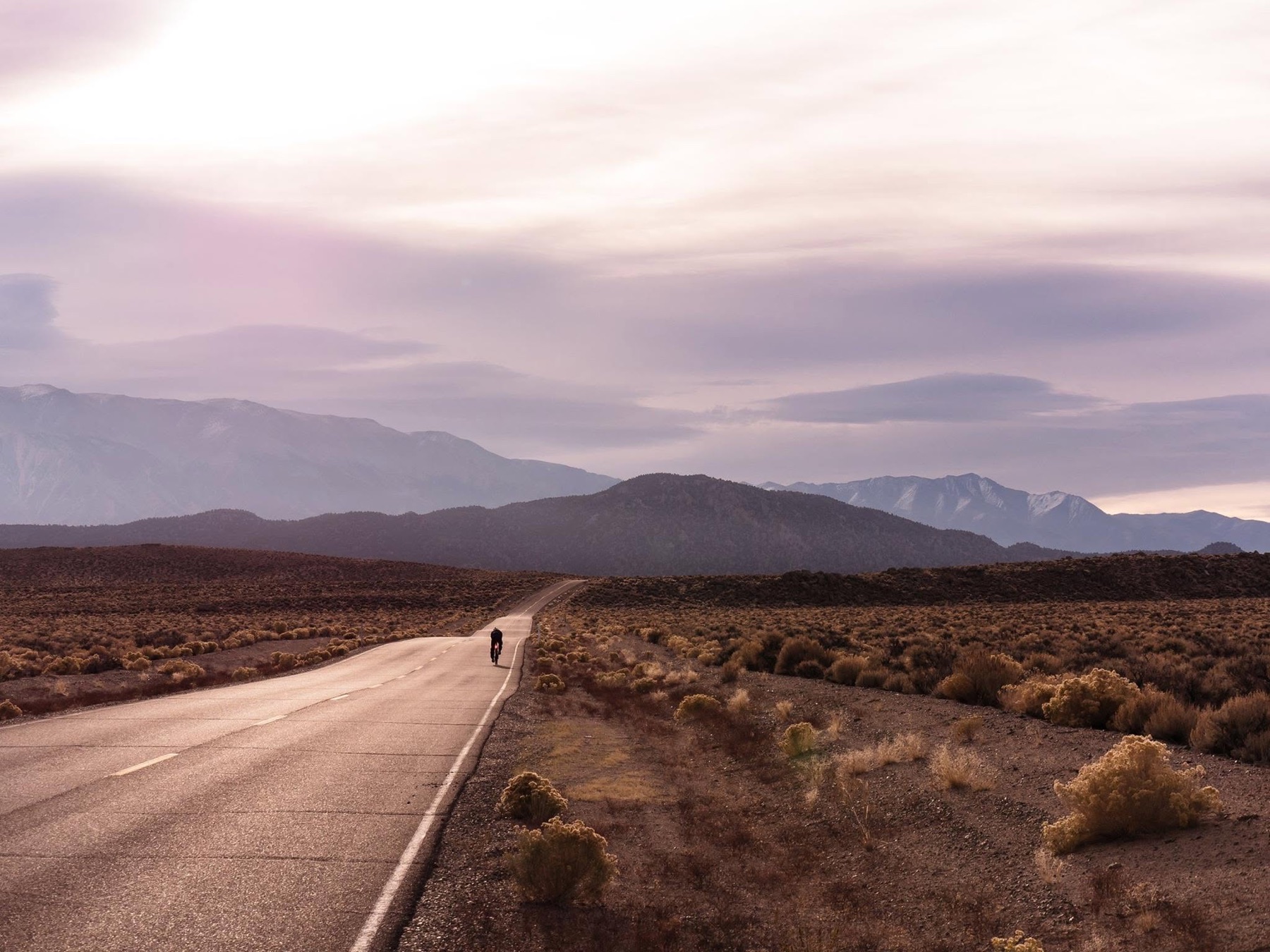
A lone cyclist follows a high-desert road toward the eastern Sierra beneath a wide evening sky
Closing on the eastern Sierra · photograph supplied by Ryan Tetz
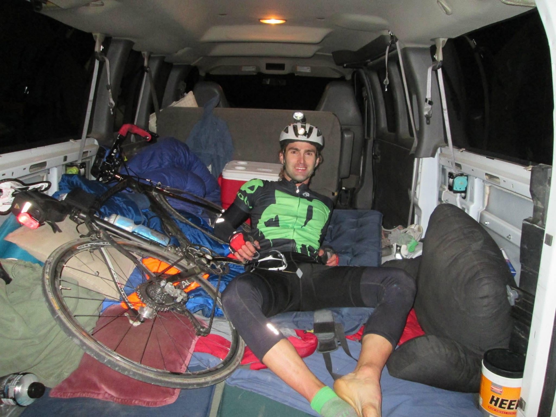
A cyclist rests beside a road bicycle and sleeping system inside the Trans-California support van at night
The supported crossing inside James Nichols’s vehicle · Tetz archive
James Nichols at the eastern finish of Ryan Tetz’s 2014 Trans-California Crossing Direct
James Nichols at the finish · sole support crew throughout · photograph supplied by Ryan Tetz
03

July 8–9, 2019 / Three complete crossings

THE TRIPLE
SIERRA
CROSSING.

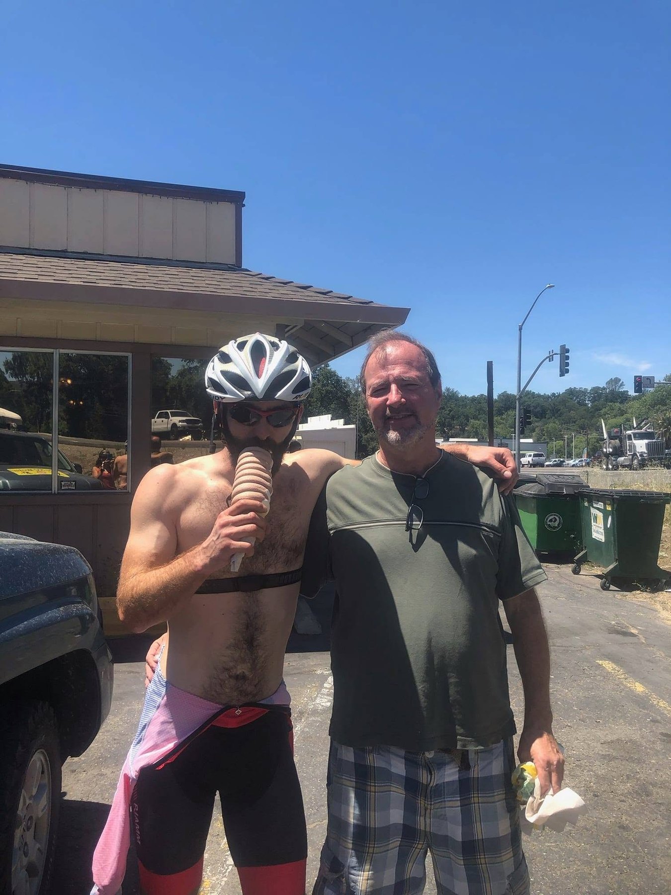
Ryan Tetz eats an ice cream beside his father at the midpoint of the 2019 Triple Sierra Crossing
Midpoint with Ryan’s dad · July 8, 2019 · photographer to recover
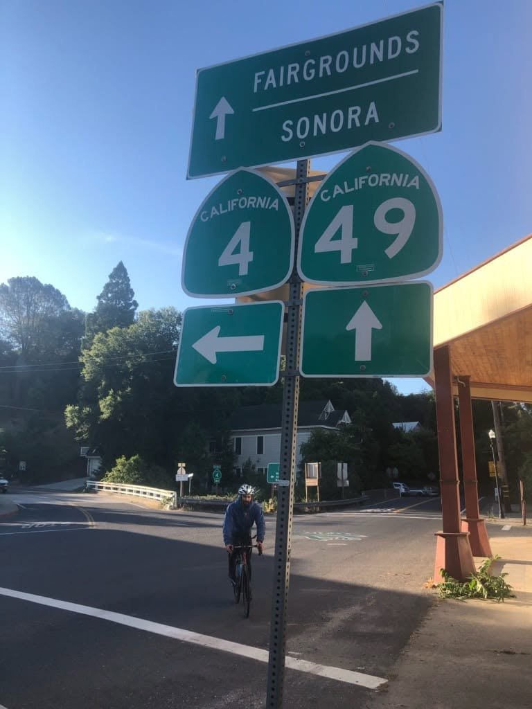
Ryan Tetz rides beneath California Routes 4 and 49 signs at the end of the 2019 Triple Sierra Crossing in Angels Camp
Finish at Angels Camp · July 9, 2019 · photograph supplied by Ryan Tetz
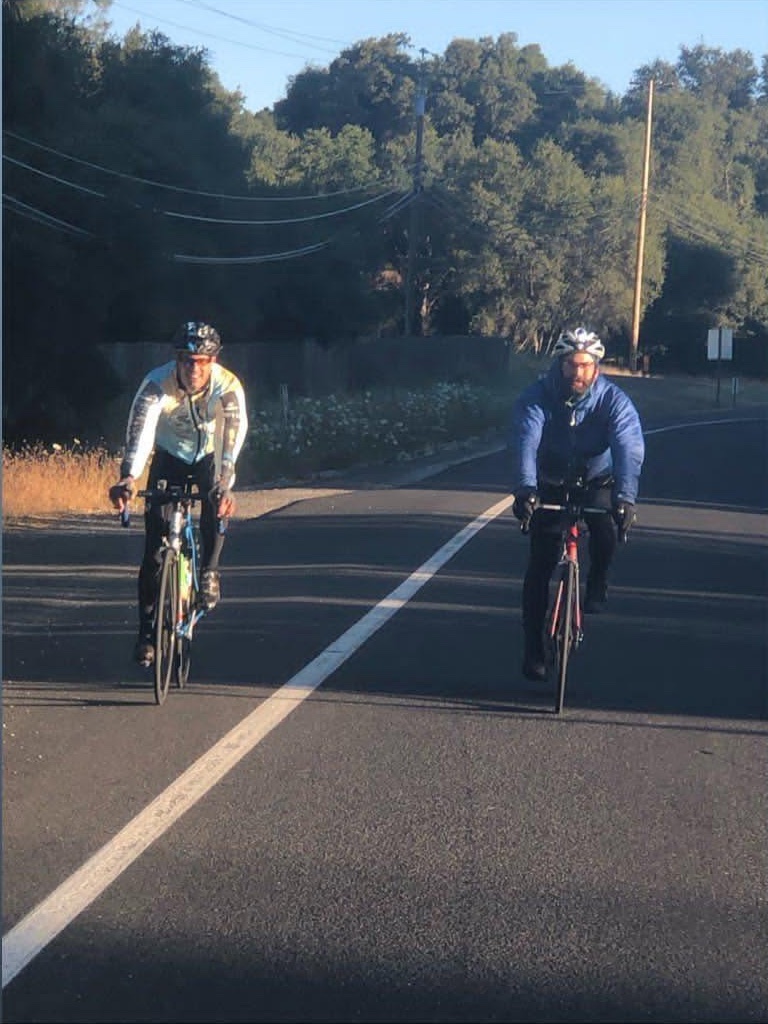
Ryan Tetz and Daniel Moore ride together during the final miles of the 2019 Triple Sierra Crossing
Daniel Moore escorts Ryan through the final miles · cropped from Ryan’s supplied story frame
309.42GPS miles
28,494feet gained
26:32:35elapsed
  1. 01

    395 → 49 Tioga Pass / Highway 120

  2. 02

    49 → 395 Sonora Pass / Highway 108

  3. 03

    395 → 49 Monitor and Ebbetts passes

Tetz finished the third crossing at Angels Camp after 22:41:38 of moving time, establishing and claiming the first full triple Sierra crossing in any sport. His contemporary rule set was simple: one ride, no sleeping, and a Highway 49 or Highway 395 touch after every crossing. The RV Project later independently described it as the first known triple-Sierra bicycle crossing. The activity does not identify a crew, so its support style remains undocumented and the ride is preserved here as a route-establishing benchmark rather than a formal FKT category.

04

July 13, 2019 / Later that week

ROD FARVARD’S
DOUBLE
CROSSING.

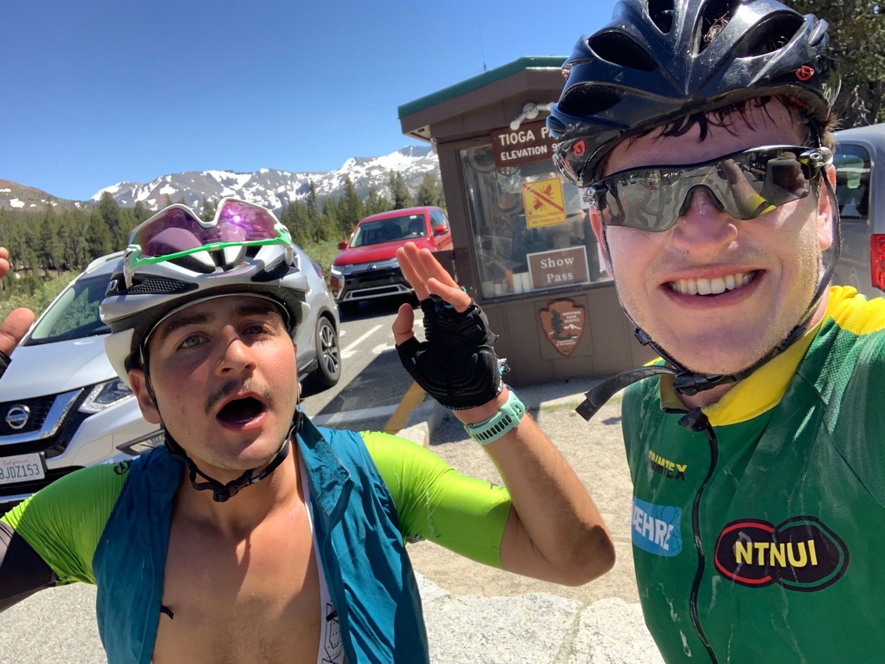
Two cyclists pause at Tioga Pass during Rod Farvard’s 2019 Double Crossing
Rod Farvard’s Double Crossing at Tioga Pass · photograph supplied by Ryan Tetz
“Physically weaker, mentally stronger. Solstice ride sent. Never touching a bike again.”
Start / finish
Soulsbyville
Crossing one
Sonora Pass · west → east
Crossing two
Tioga Pass · east → west
Rest
80 minutes of sleep reported
231.66GPS miles
22,589feet gained
19:20:33elapsed

Rod Farvard’s ride closed a west-to-east Sonora crossing and an east-to-west Tioga crossing back in Soulsbyville. Strava records 16:02:58 moving and 19:20:33 elapsed. It is a documented double with a different course and endpoints from Tetz’s 2014 Link-Up—not a directly comparable successor. The activity does not establish whether Farvard received outside support, so no support category is assigned here.

05 / Trail + ski crossings

THE RANGE
WITHOUT
THE ROAD.

These are not successors to the bicycle rides above. They are older and broader crossing traditions on foot and snow. Each line keeps its own endpoint, direction, route variation, season and support style.

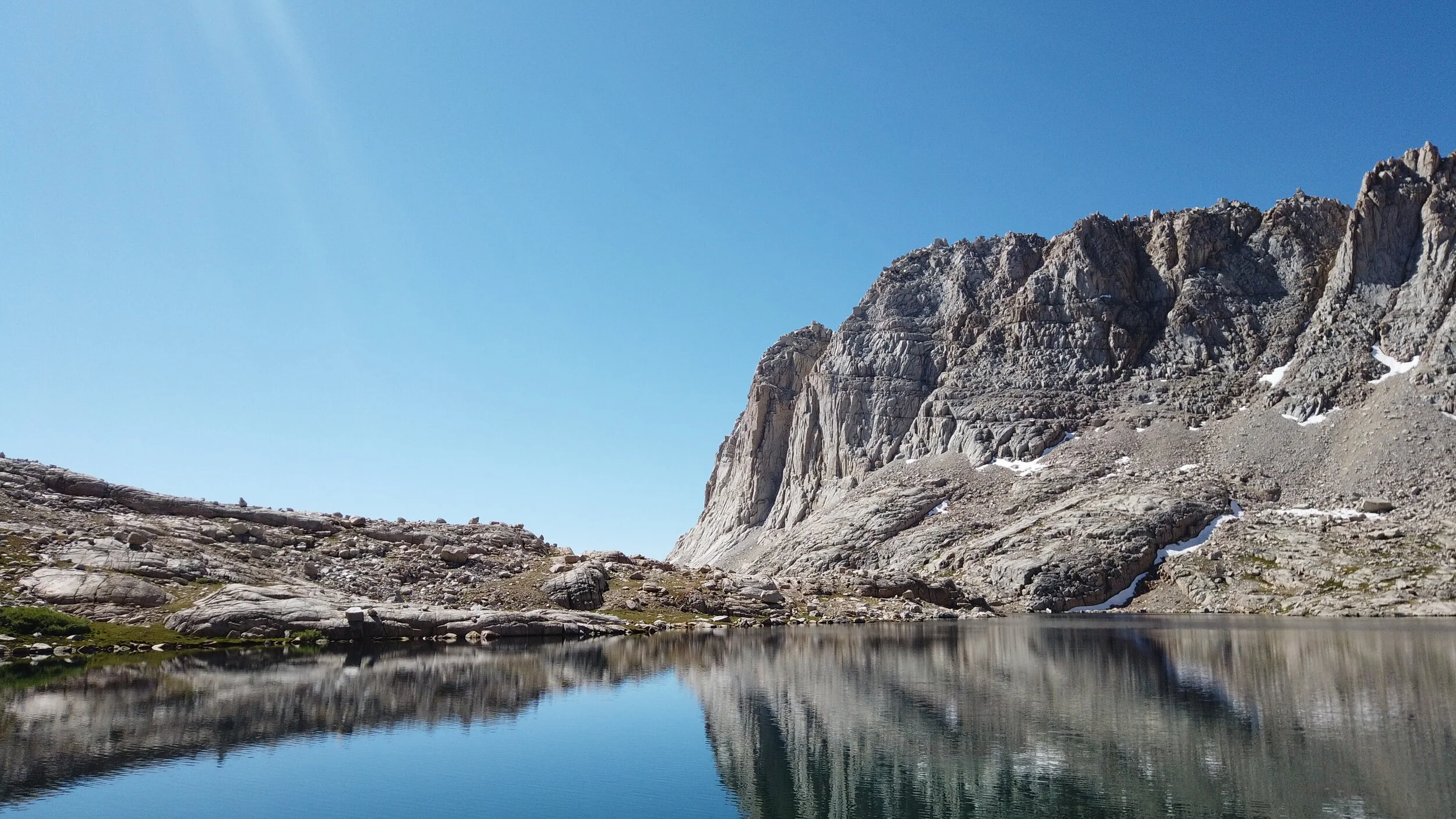
A calm alpine lake reflects a granite cirque in the Sierra Nevada
High Sierra terrain · Ryan Tetz archive · route-context photograph
Foot crossing / Crescent Meadow ↔ Whitney Portal

HIGH SIERRA
TRAIL.

The named trail runs 49 miles from Crescent Meadow to its JMT junction at Wallace Creek. The practical speed crossing continues over Mount Whitney and down to Whitney Portal—about 72 miles trailhead to trailhead. With-Whitney, without-Whitney and yo-yo efforts remain separate because they do not solve the same route.

201024:58

Brian Robinson + Peter Bakwin

201118:38

Brett Maune

201215:46

Leor Pantilat

202415:26:39

Joseph Roldan · current listed men’s

202519:30:45

Marie VanZandt · current listed women’s

Roldan deliberately started at 3:19 a.m.—the same time Pantilat had begun twelve years earlier—and reached Whitney in 2:50 before carrying the record west. His report makes the lineage personal rather than treating the table as a reset.

Premier foot route / 223 miles / pavement to pavement

JMT /
NÜÜMÜ POYO.

The FKT course connects Whitney Portal and Happy Isles, adding the eleven miles below Whitney’s summit. Northbound and southbound clocks are separate; supported, self-supported and unsupported styles are separate; a true yo-yo must complete the full trailhead-to- trailhead out-and-back. Small route deviations matter on a Premier Route.

1948Robert Speed

A remembered record with no recovered clock—the uncertainty belongs in the story.

1982Don Douglass · 4d 21h 30m

Early supported northbound benchmark. Nicki Lewis finished with the group in 5d 16h.

1988John Rosendahl · 5d 7h 50m

Solo, unsupported and uncached from Whitney Portal to Happy Isles.

2000–07Modern progression

Bakwin + Burrell, Sawchuk and Sue Johnston made the internet-era lineage legible.

2017François D’Haene · 2d 19h 26m

Current listed supported northbound mark.

Current unsupportedAurelien Sanchez · 3d 3h 55m 10s

Northbound. Jeff Garmire holds southbound at 3d 0h 47m 56s.

Off-trail high route / north ↔ south195 MI

Sierra High Route

Roper’s mostly off-trail line has a deliberately less rigid definition than the JMT. Its modern progression runs from Skurka and Burrell through Lucido and Pantilat to David Ayala’s 4d 3h 36m unsupported mark; Renee Elsdon Jacobs holds the listed women’s supported mark at 4d 23h 53m.

History + route ethic
Spring 1985 / first one-day ski22:05

Wolverton → Shepherd Pass

The one-day threshold

DOUG
ROBINSON.

David Beck and partners first skied the full Skier’s Sierra High Route in 1975; the line was normally a five-to-seven-day tour. A decade later Robinson compressed it into 22 hours 5 minutes, making the established traverse a one-day proposition for the first time. In his oral history, Robinson recalls guiding the route for a week, resting briefly, then skiing it back in about 22 hours to meet his next trip. The archive keeps that first-person account beside the official route table and his 1987 writing and photography from the Sierra High Route.

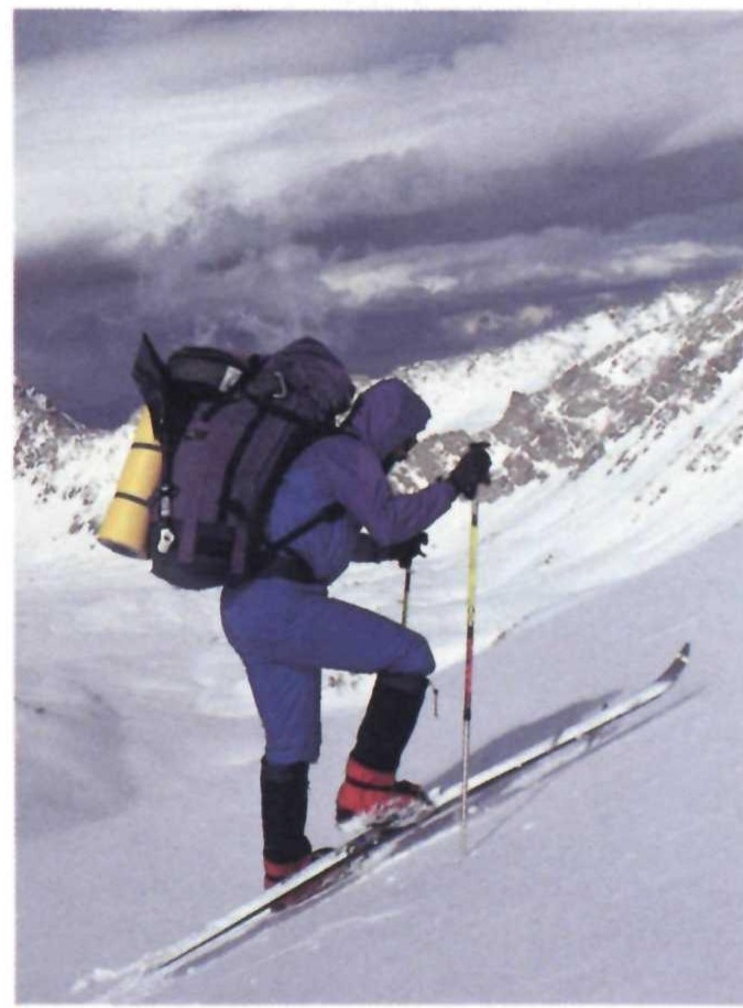
An unidentified skier climbs through the Sierra High Route on backcountry skis with an overnight pack
Sierra High Route ski travel · photograph by Doug Robinson · National Parks, 1987 · skier unidentified

Expedition lineage / the first continuous interpretation

JED PORTER.
THE REDLINE.

In late April and early May 2017, Porter became the first skier to complete the Redline continuously. He traveled mainly solo from the Whitney country toward Mammoth, linking high passes, summits and ski descents across 16 days, 125 miles and 79,100 vertical feet. Friends joined through part of day four; Porter camped throughout and made two resupplies.

The Redline is not a rigid race course. Allan Bard, Chris Cox and Tom Carter shaped the original vision across the deep 1982–83 seasons, describing a high path that strung together ski descents “like so many pearls.” Porter honored that idea without publishing a prescriptive track: one proper ski line and one summit each day, with route choice left part of the work.

Time16
days
Distance125
miles
Vertical79,100
feet
StyleMainly
solo
The Redline Traverse: 40 Years on the Sierra’s Highest Route follows Jenna Kane and Greg Cunningham’s 2023 interpretation, with Porter, Robinson and Tom Carter carrying the history on film.
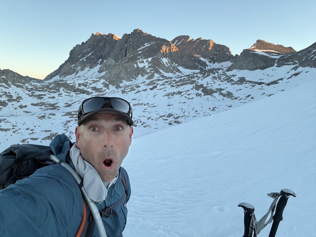
Ryan Soares takes a ski-mountaineering selfie below the snowy Monarch Divide at sunrise
Ryan Soares · Monarch Divide · March 2026 · FKT submission photograph
Modern ski crossings / telemark / unsupported

RYAN SOARES.
TWO LINES
IN 13 DAYS.

In March 2026, Soares moved from the established Skier’s Sierra High Route to the more technical Monarch Divide. His first-person reports are preserved here because conditions, transitions and decisions explain more than the clocks alone.

March 15–16 / Wolverton → Shepherd Pass17:11:56

Skier’s Sierra High Route

Robinson’s 1985 one-day breakthrough stood at the head of this progression. Soares and Steve Hammond lowered the listed time to 19:50:43 in 2022, before Soares went solo in 17:18 in 2023. His 2026 west-to-east reversal was a solo, unsupported, single-push telemark effort—mostly through darkness before dawn reset the day.

Full report + GPS
March 28 / Coats Meadow → Road’s End23:47:49

Monarch Divide

Soares’s first known single-push line covered 58.5 miles and roughly 15,500 feet of climbing via Bishop Pass, Thunderbolt Col, Potluck, Mather, Frozen Lake, Marion and Goats Crest. It mixed skiing with fourth-class downclimbing, repeated transitions and a final 7.33-mile descent run in tele boots.

Full report + GPS
Winter expedition lineage16 DAYS

White Mountains

Rowell, Jensen, Miller and Sharp’s 1974 winter traverse, Huebner’s roughly 34-hour 2005 spring line and Whisenant–Johnson’s 2026 winter ski traverse span more than fifty years of travel along the range.

Open the full history

More crossings

WERE YOU THERE?

Know another crossing, or have a story from one of these trips? Send Ryan a note.

Share a crossing or correction